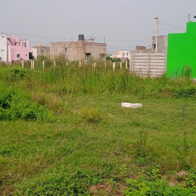
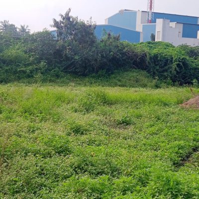
Project Overview
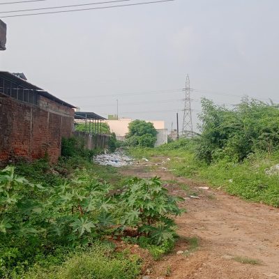
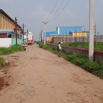
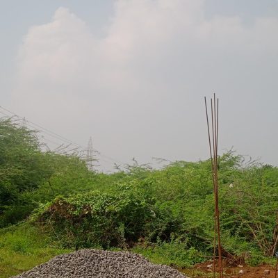
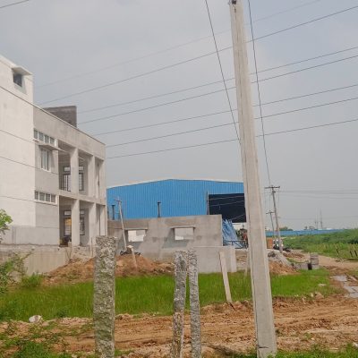
The project involved boundary demarcation, topographical survey, contour mapping, and site measurement for development planning. All survey activities were conducted in compliance with local regulations and engineering standards.
Scope of Work
Boundary identification and marking
Total station survey and GPS mapping
Topographical and contour survey
Layout marking for construction
Preparation of detailed survey reports
Project Highlights
✔ High-precision data collection
✔ Accurate mapping and documentation
✔ On-time project completion
✔ Professional execution with safety compliance
Project Achievement
The survey data provided a strong foundation for successful project planning, design, and execution, ensuring smooth construction progress and minimized site errors.